Prumo status.
All content works without internet. We still need to test it on a real device (SMS, sound, GPS, 3D) and publish the news and travel alerts function.
Emergency preparedness mobile app, made for those who have never prepared.
Risk around you
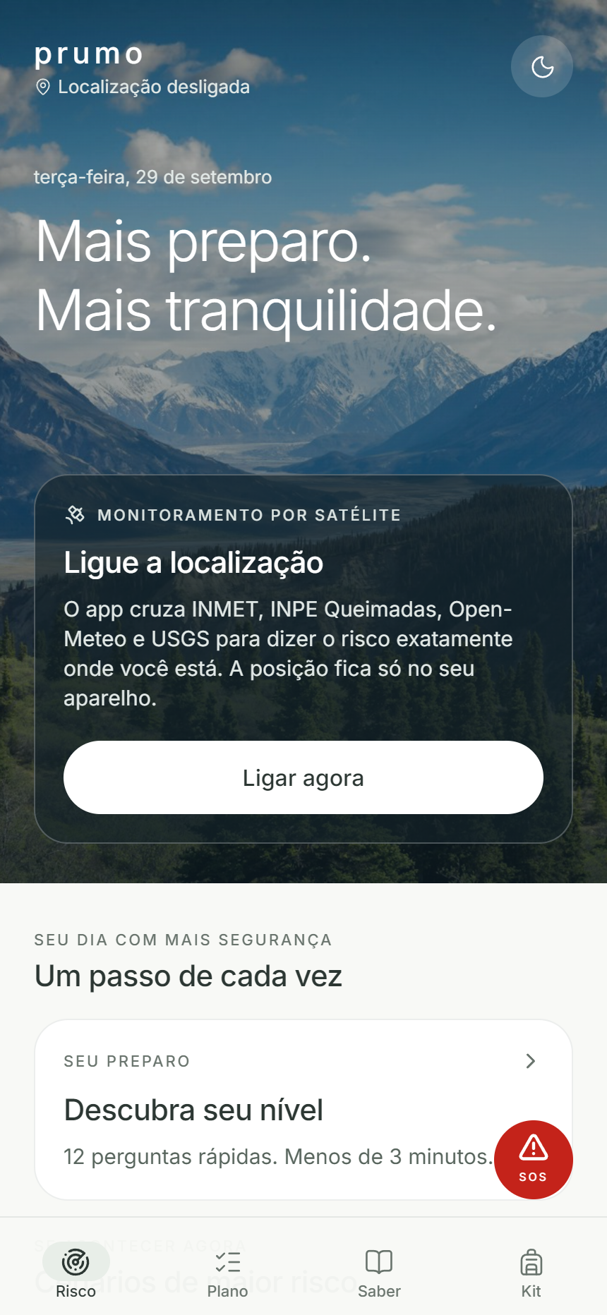
The home screen combines four open sources: official INMET warnings, INPE fire detections, Open-Meteo forecasts and USGS earthquakes. Each threat is assigned a level from 1 to 5 and links to guidance for that scenario. Offline, the app shows the last reading and its timestamp.
Twelve questions measure preparedness in eight areas: water, food, energy, health, shelter, safety, communication and plan. The app then sets up a trail of 42 missions, with a next step card and celebration for each mission.
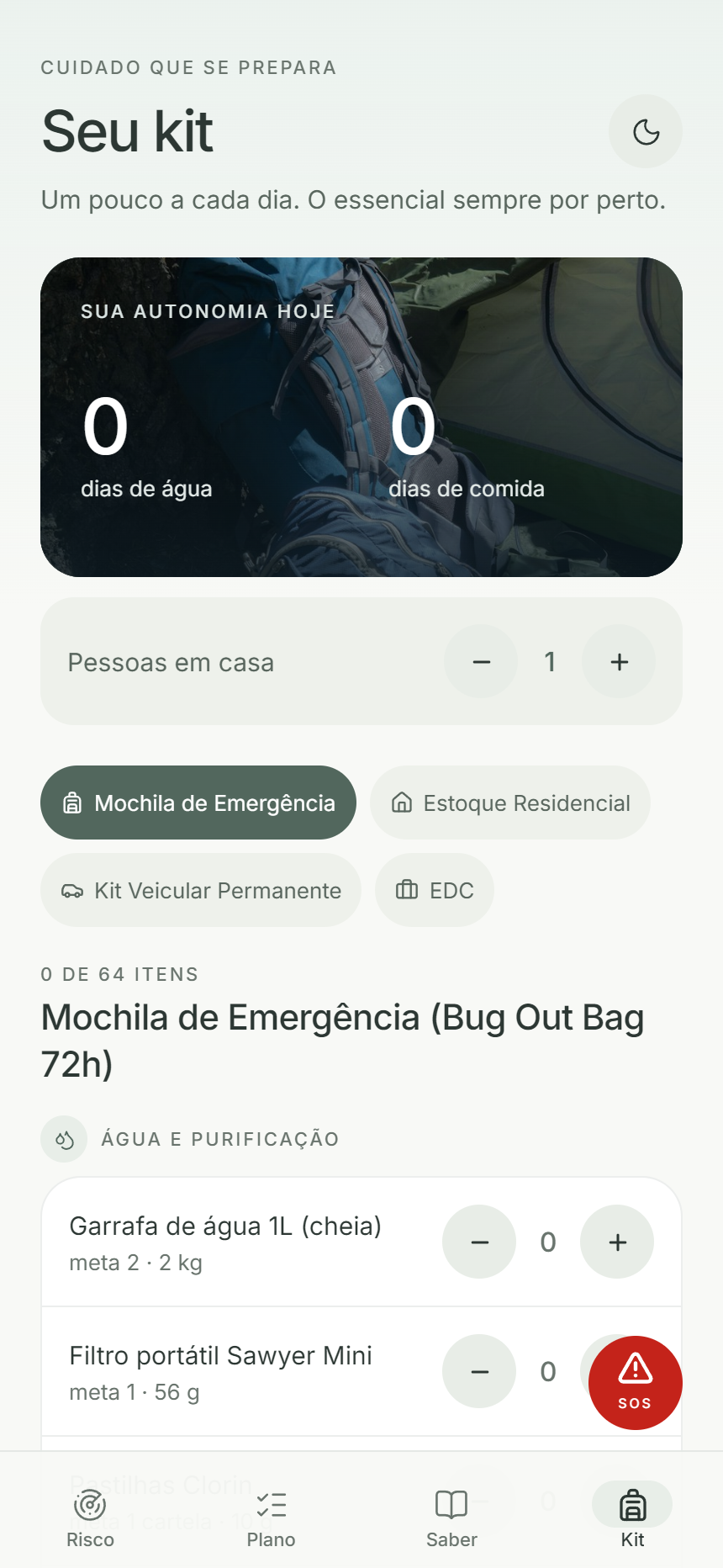
214 items in four modules: emergency backpack, home inventory, car kit and EDC (what you carry every day). Count days of water and food by the number of people in the house.
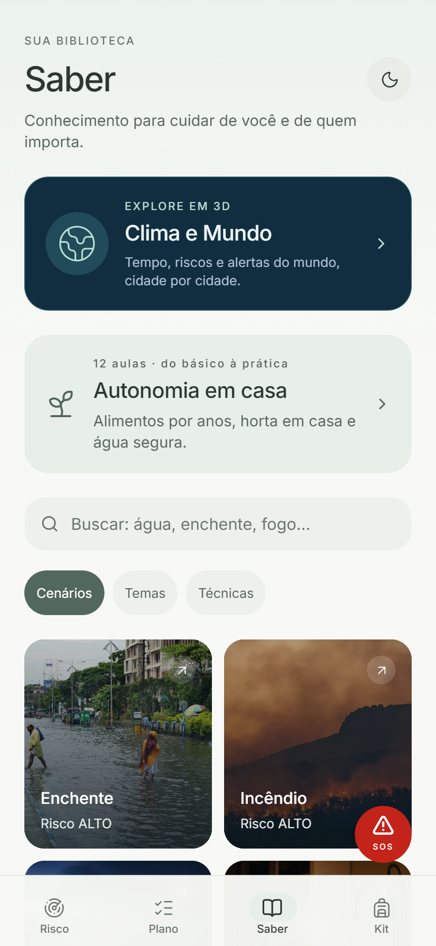
Library with 15 emergency scenarios (flood, fire and others), 116 immediate action steps, 56 topic sheets and 50 technical sheets. Includes the Autonomy at Home course, with 12 lessons on water, food and gardening.
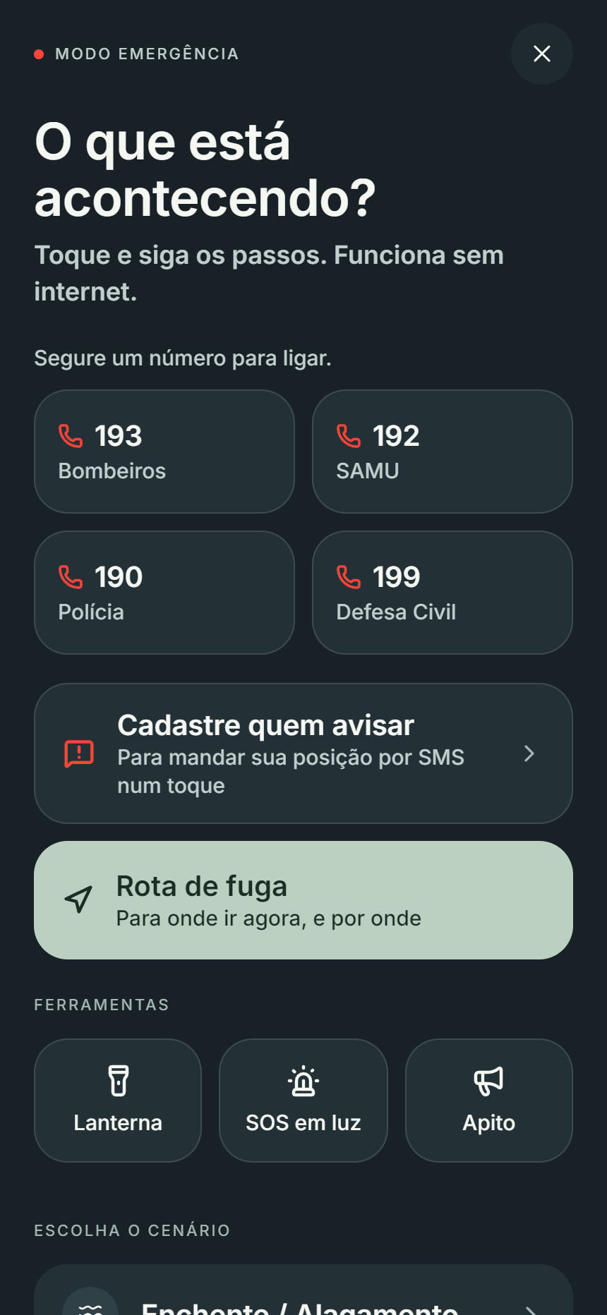
Dark screen with the numbers 193, 192, 190 and 199, step by step by scenario and SOS by SMS: holding the button sends your position and the meeting point. It has a screen flashlight, SOS in Morse light and a 3 kHz whistle.
Look for higher points nearby and avoid paths that go down more than 3 m, because water runs downwards. Calculates walking time.
Gathers contacts and meeting point and generates a one-page PDF.
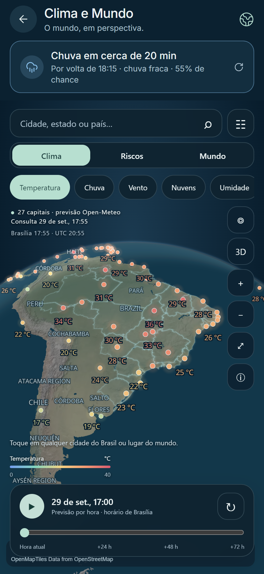
Globe with forecast for 241 capitals and 5,571 municipalities in Brazil, risks for the next 24 hours, disaster alerts (GDACS) and a radar with 10 themes to monitor. Warns "rain in about X min" based on your position.
All content works without internet. We still need to test it on a real device (SMS, sound, GPS, 3D) and publish the news and travel alerts function.